
⚡ Quick Answer
Sewri has options in every direction: the Harbour line at Sewri station (about 0.3 km from L&T The Gateway), the Eastern Freeway to South Mumbai, the Atal Setu to Navi Mumbai, plus the Monorail (about 1.5 km) and a proposed Metro station (about 2.7 km).
- South Mumbai: Eastern Freeway or Harbour line.
- Navi Mumbai: Atal Setu (MTHL), right next to the project.
- BKC and the western suburbs: road routes via Wadala and the Monorail corridor.
For most Mumbai families, the daily commute decides where they live. Sewri’s big advantage is that it sits at a meeting point of rail, road and sea-link routes on the eastern side of the island city.
This guide explains the main commuting routes from Sewri. We have not given travel times, because they change with traffic and time of day. Try your own route at peak hours before you decide.
Table of Contents
- Transport Links at a Glance
- To South Mumbai: Fort, Nariman Point and Colaba
- To BKC, Lower Parel and the Western Suburbs
- To Navi Mumbai and the New Airport Area
- To the Eastern Suburbs and Thane
- To the Airport
- How to Test Your Commute Before You Buy
- Which Route Suits Which Commuter
- Related Guides
- Frequently Asked Questions
- Conclusion: A Central Base With Many Routes
Transport Links at a Glance
| Link | Distance from L&T The Gateway | Best for |
|---|---|---|
| Sewri railway station (Harbour line) | About 0.3 km | CSMT, South Mumbai, Wadala, Kurla and the Harbour line |
| Monorail station | About 1.5 km | Wadala, Chembur and the Monorail corridor |
| Proposed Metro station | About 2.7 km | Future Metro links across the city |
| Atal Setu (MTHL) | Next to the project | Navi Mumbai, Ulwe and the mainland |
| Eastern Freeway | Close by | South Mumbai and the eastern suburbs |
| CSMIA airport | About 17.4 km | Domestic and international flights |
Rail, Monorail, Metro and airport distances as shared on the official project page; Atal Setu and Eastern Freeway from partner information.
To South Mumbai: Fort, Nariman Point and Colaba
The Eastern Freeway runs along the eastern edge of the city towards South Mumbai and is the main road option for office-goers heading to Fort, Ballard Estate, Nariman Point or Colaba. By rail, the Harbour line from Sewri runs towards CSMT, which is close to the old business district.
To BKC, Lower Parel and the Western Suburbs
Bandra Kurla Complex (BKC) is one of Mumbai’s biggest business districts. From Sewri, road routes run via Wadala and Dharavi towards BKC, while Lower Parel and Worli are a short drive west across Parel. For the western suburbs, routes via Worli and the sea links are common. As the Metro network grows, these trips should get more options. Compare the neighbourhoods themselves in Sewri vs Worli vs Lower Parel.
To Navi Mumbai and the New Airport Area
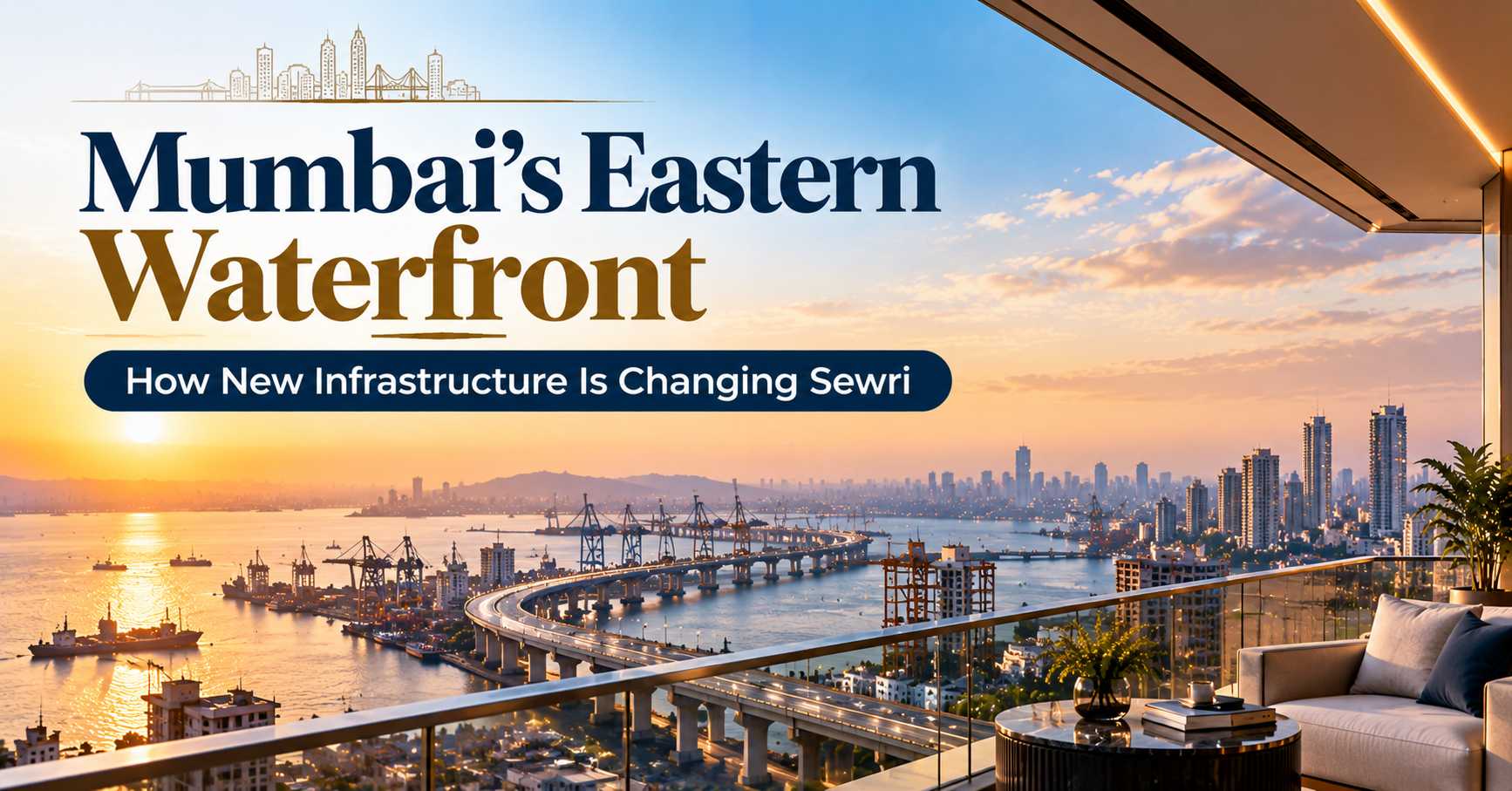
The Atal Setu (Mumbai Trans Harbour Link) starts at Sewri and crosses the harbour to the mainland near Navi Mumbai. For people who work in Navi Mumbai, travel to Pune or use the Navi Mumbai International Airport area, this has changed what living in Sewri means. Read the full story in Sewri connectivity and the Atal Setu.
To the Eastern Suburbs and Thane
The Eastern Freeway and the Eastern Express Highway connect Sewri to Chembur, Ghatkopar, Vikhroli and Thane. The Harbour line and the Monorail are other options for parts of this corridor.
To the Airport
Chhatrapati Shivaji Maharaj International Airport (CSMIA) is about 17.4 km from L&T The Gateway Sewri, as shared on the official project page. Allow extra time at peak hours.
How to Test Your Commute Before You Buy
- Pick your real destinations. Office, school, parents’ home, airport.
- Travel at peak time. Try the trip on a working day at the hour you would actually travel.
- Try two modes. Compare car and train, or car and Monorail, for the same trip.
- Think ahead. New roads and Metro lines are being built. Read how infrastructure is changing Sewri.
- Visit the project. Combine your test commute with a site visit.
Which Route Suits Which Commuter
| If you... | Likely route |
|---|---|
| Work in Fort, Ballard Estate or Nariman Point | Eastern Freeway by car, or the Harbour line towards CSMT |
| Work in BKC | Road via Wadala; check Metro options as they open |
| Work in Lower Parel or Worli | A short drive west across Parel |
| Work in Navi Mumbai or travel to Pune often | Atal Setu |
| Live in the eastern suburbs or Thane side | Eastern Freeway, Eastern Express Highway or Harbour line |
| Fly often | Road to CSMIA, or the Atal Setu towards the Navi Mumbai airport area |
General guide. Try your own route at peak time.
For households with two working adults going in different directions, Sewri’s central position can be a real advantage. Combine this with schools and hospitals nearby to see the full picture of daily life.
Related Guides
- Sewri connectivity and the Atal Setu
- Schools, hospitals and daily needs near Sewri
- Mumbai’s eastern waterfront and new infrastructure
- How to shortlist luxury flats in Mumbai
- Public transport near Sewri: railway, Monorail and Metro
- Hotels, dining and leisure near Sewri
- Car Parking in Mumbai Apartments: Covered, Stilt, Podium and Mechanical
- Sewri Fort and the Heritage of Sewri: A Neighbourhood Story
- Monsoon-Ready Homes: What to Check in a Mumbai High-Rise
- Moving Into Your New Home in Mumbai: A Step-by-Step Checklist
- Neighbourhoods Around Sewri: Parel, Lalbaug, Wadala, Byculla and Dadar
- Buying a Second Home in Mumbai: A Practical Guide
- Flat Orientation in Mumbai: Sunlight, Breeze and Views Explained
- L&T The Gateway Sewri Location: Address, Landmarks and Distances
- L&T Gateway Sewri Address: Directions by Train, Road and Air
- Relocating to Mumbai? How to Choose Where to Buy a Family Home
Frequently Asked Questions
How far is Sewri station from L&T The Gateway?
Sewri railway station on the Harbour line is about 0.3 km from the project, as shared on the official project page.
How do I get from Sewri to Navi Mumbai?
The Atal Setu (Mumbai Trans Harbour Link) starts at Sewri and crosses the harbour to the Navi Mumbai side. It is a tolled road.
How do I get from Sewri to South Mumbai?
By road, the Eastern Freeway runs towards South Mumbai. By rail, the Harbour line from Sewri runs towards CSMT.
Is there a Metro near Sewri?
A proposed Metro station is about 2.7 km from the project, and a Monorail station is about 1.5 km away, as shared on the official project page.
How far is the airport from Sewri?
CSMIA airport is about 17.4 km from L&T The Gateway Sewri.
Is Sewri good for people working in BKC?
Sewri has road links to BKC via Wadala, and more options are expected as the Metro grows. Test the route at peak time.
Conclusion: A Central Base With Many Routes
Few Mumbai neighbourhoods offer rail, freeway, sea-link and Monorail options so close together. Whether you work in South Mumbai, BKC or Navi Mumbai, Sewri gives you a central starting point. Test your own route at peak time, and if it works, come and see L&T The Gateway Sewri: enquire now or call +91 80503 63647.
L&T The Gateway, Sewri
MahaRERA No. P51900054969
Get the project details, floor plans and price sheet for 3, 4 and 4.5 BHK residences in Sewri, Mumbai. Our team will call you back.